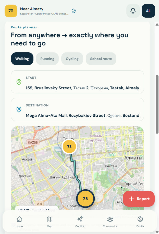
mitair works out the pollution dose you'll actually breathe on today's trip — then names the one change that lowers it: leave later, reroute, or keep the kids inside.
Most tools stop at showing data. mitair runs the whole loop, and ends on a number that says how much its advice helped.
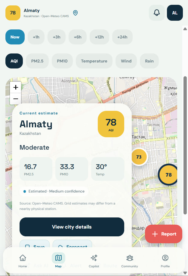
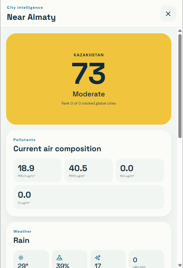
Live sensors and community photo reports flag pollution as it appears.
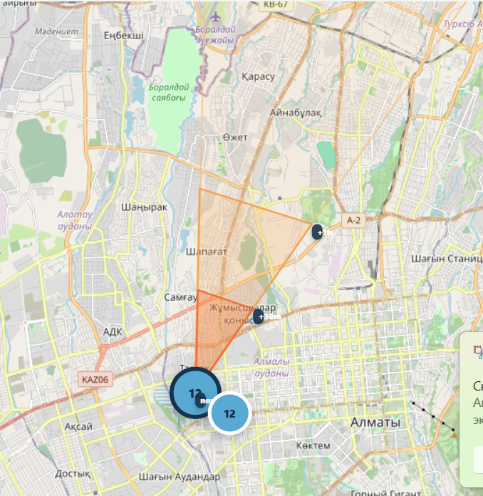
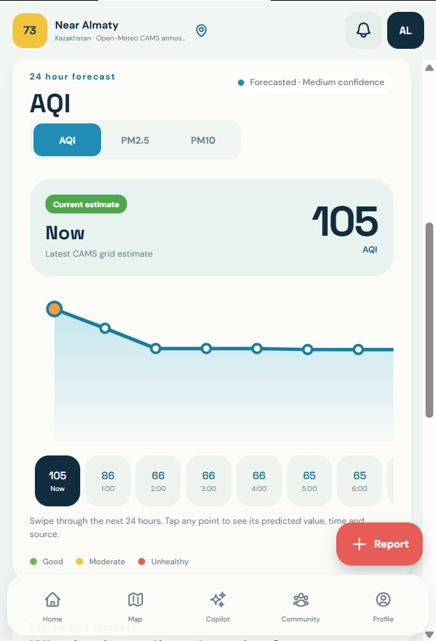
Wind and forecasts project where the air worsens — and who is downwind.
Each call shows its factors and confidence, to trust or to question.
A specific action — delay, reroute, avoid a zone — ranked by effect.
The estimated drop in exposure, in percent, so advice stays accountable.
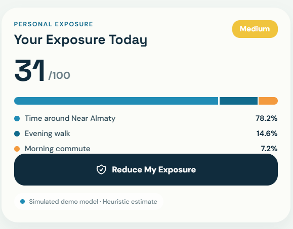
mitair adds up your real itinerary — the school run, the evening walk, the ride home — weighting each leg by how hard you breathe and how sensitive you are. One score, and you see which trips drive it.

Report smoke or dust and mitair classifies it, then projects where the plume travels — flagging the schools and places in its path, with an arrival time.

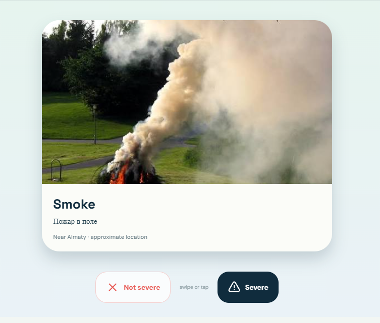
See the submitted photo, description, and approximate location, then help confirm whether the reported incident is severe.

A closer look at route planning, forecasts, live maps, and city intelligence.


Mitair.apk). The same app also runs as a responsive web version from the same codebase; this page ships the Android package.One file, no store, no account to look around. Install it and see today's exposure wherever you are.
Download Mitair.apk